



As unlikely as it may seem, the issue centers on one of the most controversial provisions of the United Nations Convention on the Law of the Sea .
Article 121(3) states that «rocks that cannot sustain human habitation or economic life on their own have no exclusive economic zone or continental shelf.».
These few words have sparked decades of legal debate and have played a central role in maritime disputes brought before international courts around the world.
Southwestern Rock
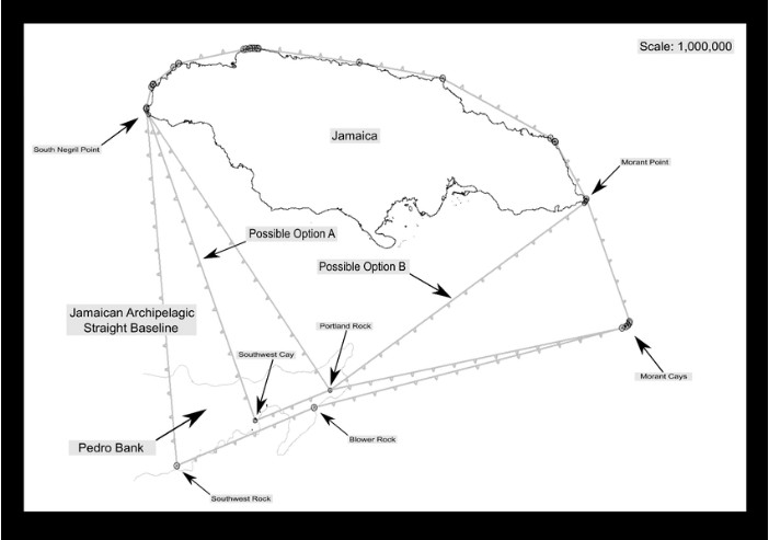
For the Cayman Islands, Article 121(3) raises important questions regarding Southwest Rock , a tiny part of the Pedro Bank that has long been part of Jamaica’s archipelagic baseline system and that could one day be taken into account in negotiations over the still-unresolved maritime boundary between Jamaica and the Cayman Islands.
– Advertisement –
Office of Oceans and International Environmental and Scientific Affairs
To the untrained eye, Southwest Rock seems insignificant. It has no permanent population, no source of fresh water, no crops, and offers little shelter from the sea. It is often described as being submerged—or nearly so—during rough weather.
However, maritime law has repeatedly shown that even the smallest details can have significant legal consequences.
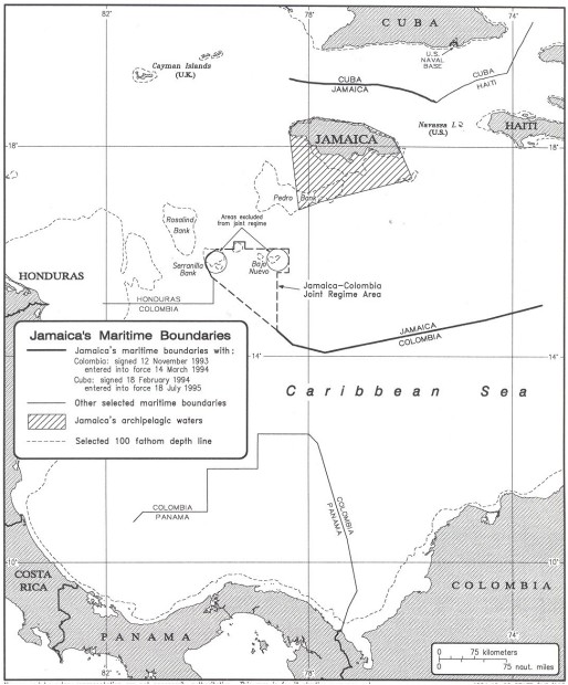
The U.S. Department of State, in its analysis Jamaica’s maritime claims, notes that several features off the island’s southern coast could be considered «rocks» within the meaning of Article 121(3) of the United Nations Convention on the Law of the Sea.
The study also emphasizes that Jamaica’s archipelagic status is based on the inclusion of a series of small islets and cays to the south within its reference archipelagic system. Without these coastal features, the main island of Jamaica would not be sufficient to meet the requirements of Part IV of the United Nations Convention on the Law of the Sea for an archipelagic State.
However, a distinction should be made between the use of small offshore features to construct an archipelagic baseline system and the weight that should be given to those same features when an international maritime boundary is ultimately drawn between neighboring states.
Over the past two decades, international courts have increasingly favored equitable solutions rather than allowing tiny rocks off the coast to disproportionately influence maritime boundaries. In several landmark cases, the influence of these isolated rocks has been reduced or even completely disregarded when delimiting maritime zones, as granting them full and complete influence would have led to an inequitable outcome.
Every maritime dispute is unique, and no international court has specifically ruled on the boundary between the Cayman Islands and Jamaica. The final delimitation of this boundary will depend on negotiations between the United Kingdom, on behalf of the Cayman Islands, and Jamaica, or on another procedure agreed upon by both parties.
Nevertheless, the growing body of international case law suggests that the mere existence of a tiny rock off the coast does not automatically mean that it must significantly influence the final demarcation of a maritime boundary.
Consequences of Rising Sea Levels
Another study adds an interesting dimension to the discussion.
A report The October 2020 meeting of the International Law and Sea-Level Rise Committee of the International Law Association examined the implications of sea-level rise for maritime boundaries and archipelagic States.
The authors, David Freestone and Clive Schofield, internationally recognized experts in the law of the sea, have identified Southwest Rock and the neighboring Blower Rock as among the most vulnerable components of Jamaica’s archipelagic base system, noting that the statements Historical hydrographic records placed Southwest Rock at only about one meter above sea level.
The report concludes that even if Southwest Rock and Blower Rock were to disappear as a result of rising sea levels, Jamaica could redraw its archipelagic baselines using other features further north on Pedro Bank, while complying with the United Nations Convention on the Law of the Sea.
Although Jamaica would lose approximately 3,789 square kilometers (1,462 square miles) of archipelagic waters, it would retain a core archipelagic system that meets the land-to-water ratio required by the convention.
This conclusion suggests that Southwest Rock is not essential to Jamaica’s archipelagic status, despite its current role within the baseline system.
Fishermen from the Cayman Islands and Pedro Bank
For the Cayman Islands, the debate goes beyond legal interpretation.
Long before the existence of exclusive economic zones, continental shelves, and maritime treaties, generations of Caymanian fishermen regularly traveled to Pedro Bank. There, they fished in its abundant waters, hunted turtles, collected seabird eggs, found refuge on its isolated islets, and navigated its reefs using knowledge passed down from generation to generation.
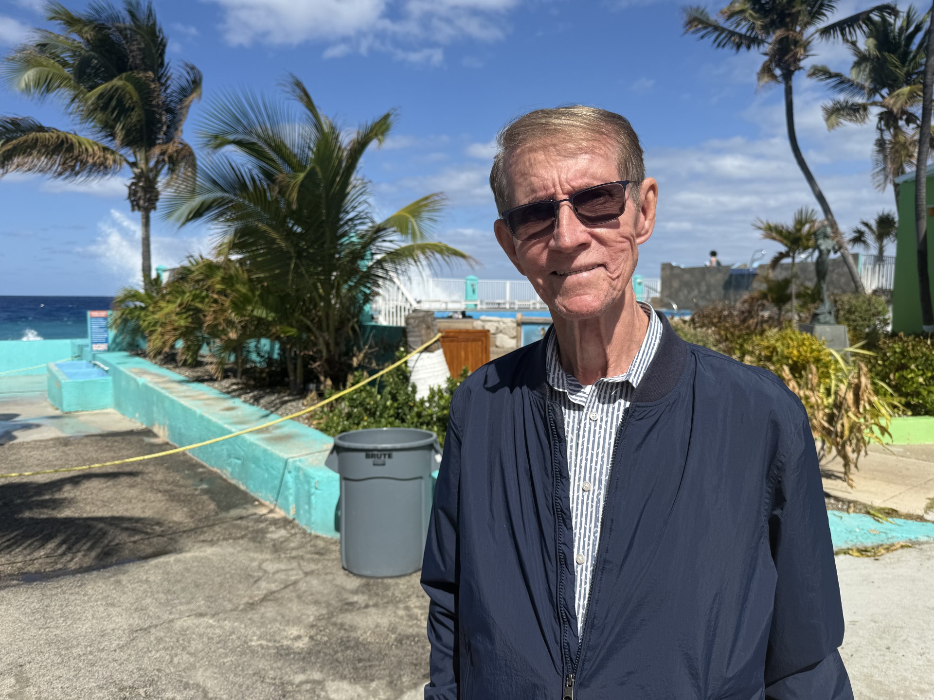
Captain Ashton Bodden remembers his father, Edgar, going on fishing trips on a Cayman Islands schooner with Captain Clyde Scott to Pedro Bank.
Sailor Byron Ebanks said that for part of the year, Caymanians even lived on the Pedro Shoals: «It was part of the Cayman Islands back then. They fished for conch, whelks, and turtles; they did everything out there.»
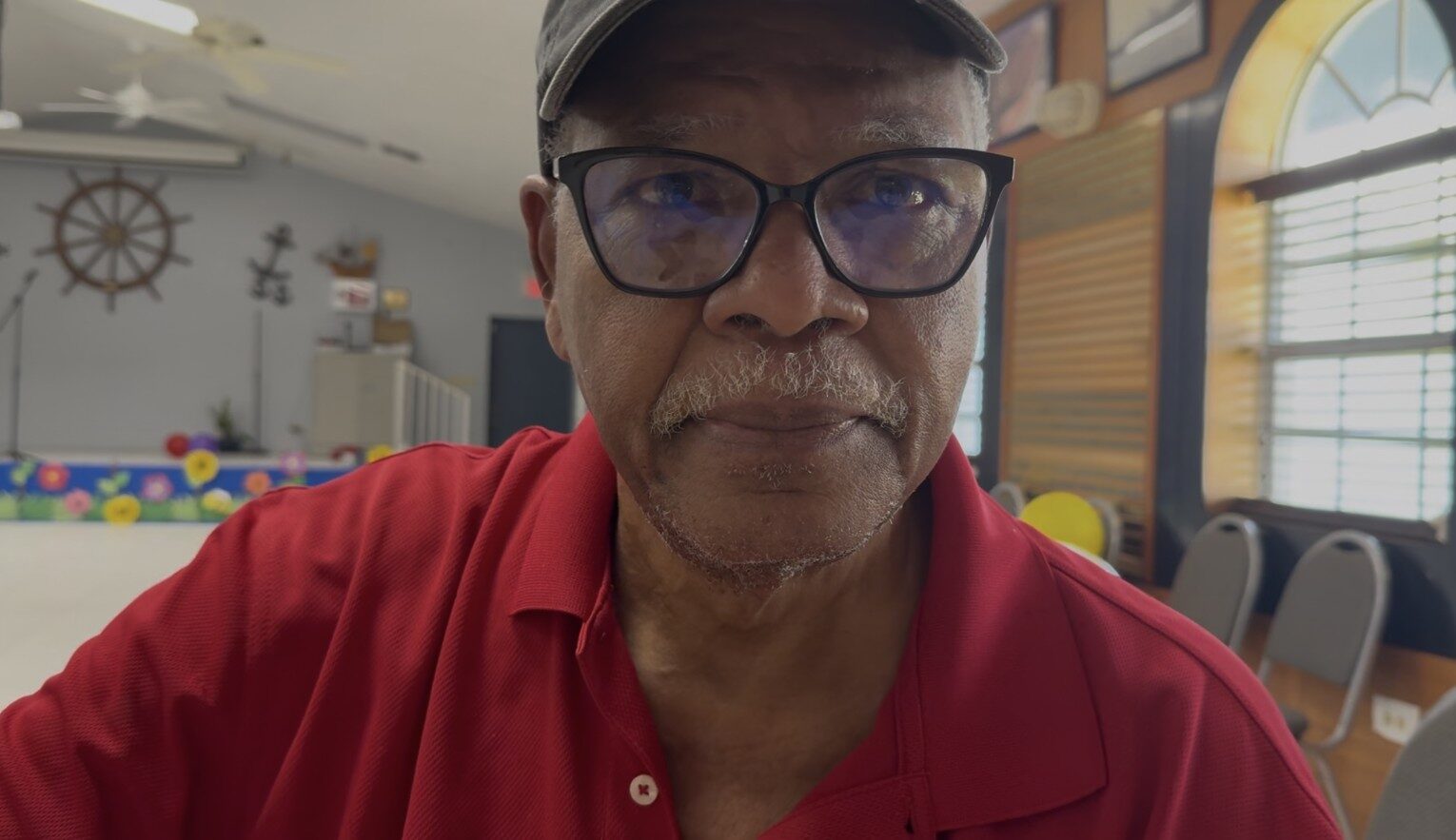
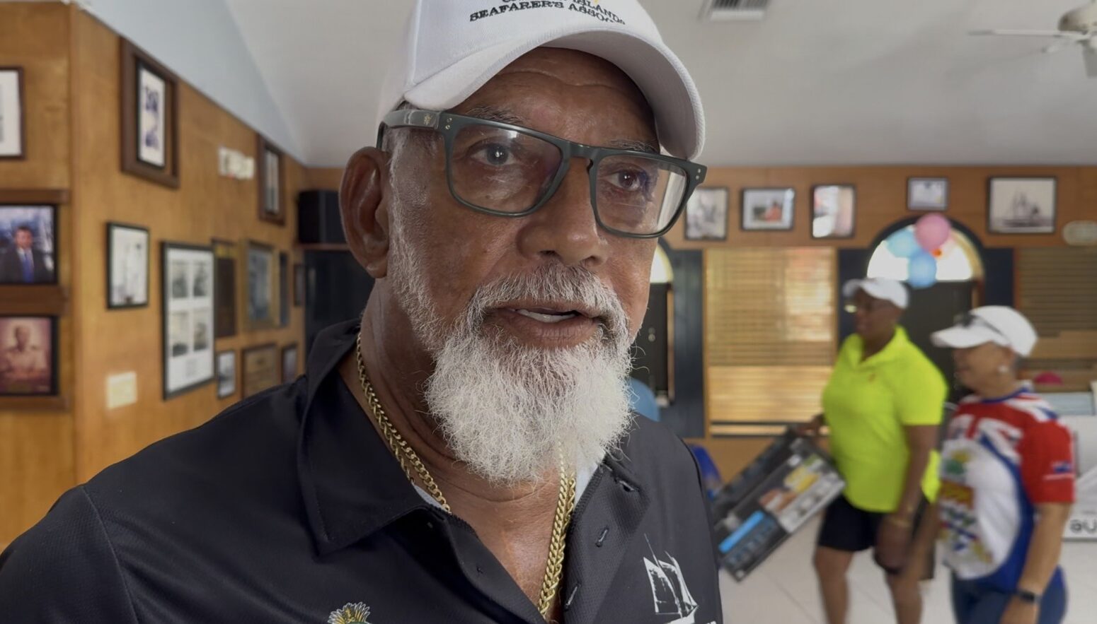
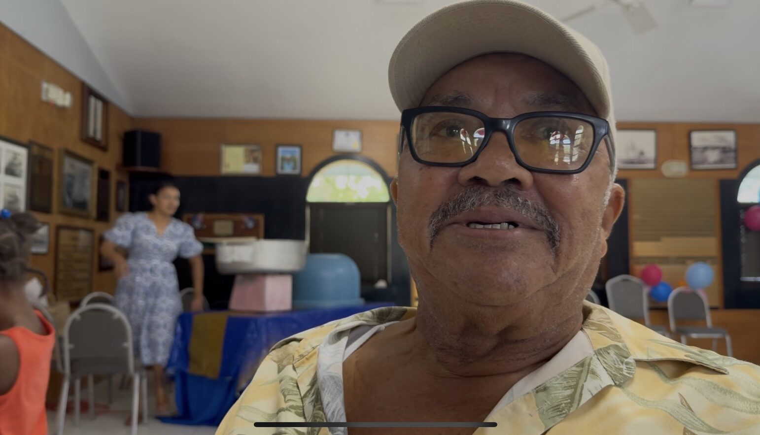
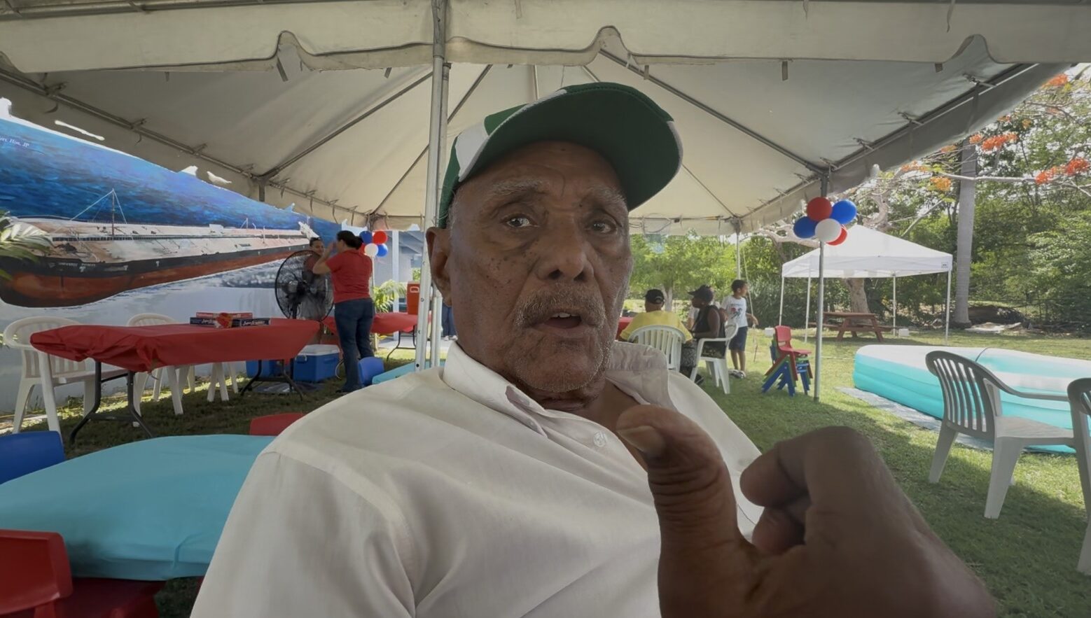
«A lot of Caymanians went there—none of my family, but a lot of Caymanians went there,» recalls Kenneth Hurlstone, referring to the Pedro Banks.
«My family and even some of my friends used to go fishing at Pedro’s Bank,» said Tad Welcome, adding, «Captain Carl Bush from South Sound would take people there on schooners, and the residents of East End would sail with them.»
Archie Rivers, who has been on numerous turtle-hunting trips with Captain Allie Ebanks and also on another schooner with Captain Willie Farrington, said that it was mainly the Cayman Brackers who went to Pedro Bank.
These historical claims alone cannot determine sovereignty or maritime jurisdiction. Modern international law distinguishes between historical usage and legal title, and maritime boundaries are definitively established through treaties or international legal procedures.
But oral traditions remain important.
These documents attest to a centuries-old connection between the Caymanians and Pedro Bank, one that predates modern maritime boundaries. They preserve knowledge of the area, fishing grounds, anchorages, and seasonal voyages that have helped shape the maritime heritage of the Cayman Islands.
As many of the men who worked at the Pedro Bank grow older, preserving these memories is becoming increasingly urgent.